Structured trip stats
Distance, climb, surface, access and seasonal details rendered consistently in every post.
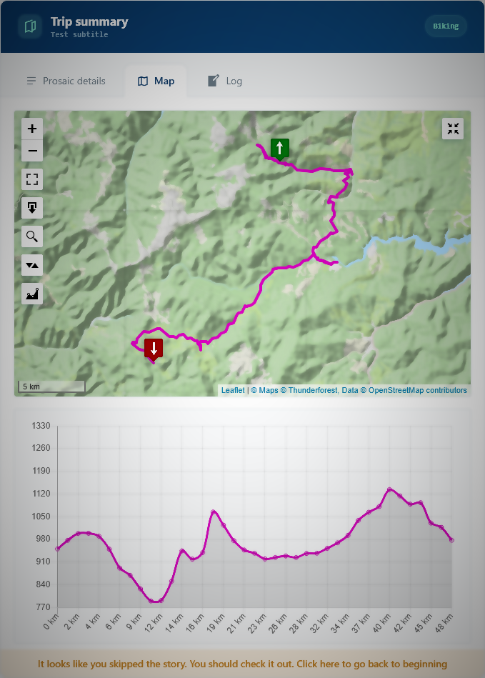
Turn a GPX, GeoJSON, KML track into an interactive map, elevation profile and consistent trip summary—right inside your cycling, hiking or train-travel post.
Stable 0.3.3 · WordPress >=7.0 · PHP >=8.3
The plugin keeps trip metadata and uploaded tracks in your WordPress site, then presents them together in a consistent front-end viewer. Map tiles are loaded from your configured provider.
Distance, climb, surface, access and seasonal details rendered consistently in every post.
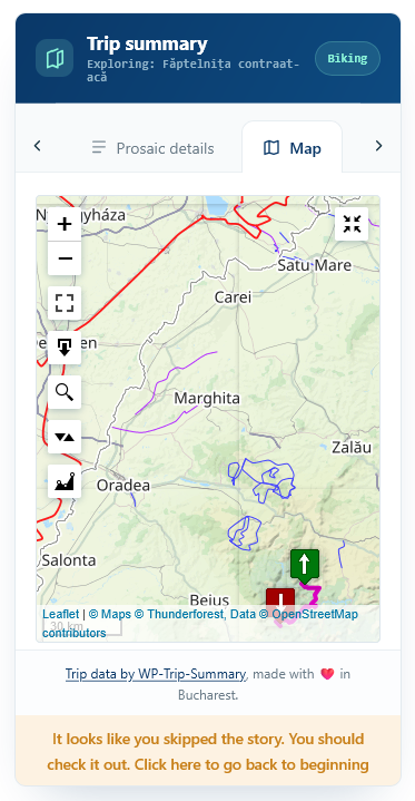
Front-end maps and route overlays designed for quick scanning and comfortable reading.
Elevation charts sit alongside the map, giving visitors the effort profile at a glance.
Cycling, hiking and train journeys can each expose the details that matter for that format.
Override the viewer stylesheet or replace its front-end templates to match your WordPress theme.
Trip data and track uploads stay with your WordPress content; the BSD-licensed code is open to inspect and adapt.
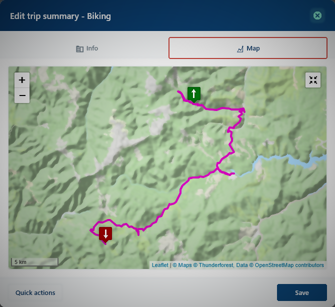
Follow the plugin from the WordPress editor to the published trip viewer, including route data, the interactive map and its administration workflow.
Explore real WP Trip Summary screens for map configuration, viewer settings and maintenance.
WP Trip Summary is a focused publishing tool, not a general-purpose map builder.
Add a GPX, GeoJSON or KML file to the trip editor in WordPress.
Add surface, access, difficulty, operators or other fields by trip type.
The techbox renders automatically inside the post for every visitor.
Download stable version 0.3.3, then follow the installation guide.